Toggle navigation
Survey Documents
Advanced Search
Supporting Data
Companies
Surveyors
Communities
Original Townships
APIs
Survey Documents API
Tutorial
About
Contact
Search
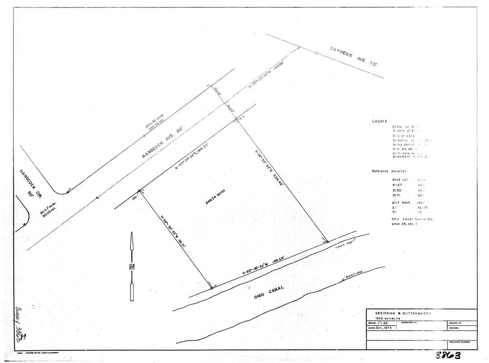
3863
Download lotsplits3863.tif
GIS Data
Latitude:
41.0223259999998
Longitude:
-81.557994
Identification
Survey identifier:
3863
Context
Original township:
Coventry
Community list:
Akron
Surveyed on:
10/01/1973
Description
Owner:
Description:
Primary road:
Hancock Ave
Secondary road:
Carnegie Ave
Near intersection:
Hancock Circle
Acreage:
0.8463
Survey Locators
Tract list:
2
Lot list:
18
Section list:
Quarter:
Surveyor
Surveyor number:
Surveyor name:
Company:
Greissing & Butterworth
Document Data
Scan File Name:
lotsplits3863.tif
Scan Pages:
1
Drawer location: