Toggle navigation
Survey Documents
Advanced Search
Supporting Data
Companies
Surveyors
Communities
Original Townships
APIs
Survey Documents API
Tutorial
About
Contact
Search
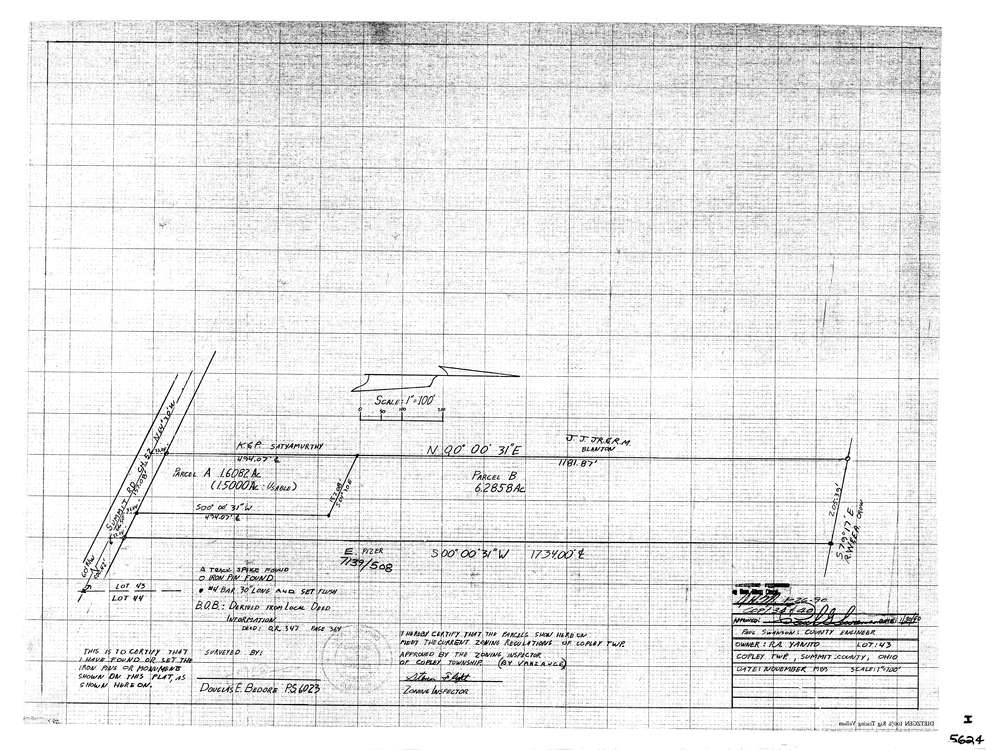
5624
Download lotsplits5624.tif
GIS Data
Latitude:
41.0732487999999
Longitude:
-81.6314006
Identification
Survey identifier:
5624
Context
Original township:
Copley
Community list:
Copley
Surveyed on:
11/01/1989
Description
Owner:
Yanito
Description:
Primary road:
Summit Rd
Secondary road:
Near intersection:
Jacoby Rd
Acreage:
7.8
Survey Locators
Tract list:
Lot list:
43
Section list:
Quarter:
Surveyor
Surveyor number:
6023
Surveyor name:
Bedore, Douglas E.
Company:
Bedore Surveying
Document Data
Scan File Name:
lotsplits5624.tif
Scan Pages:
1
Drawer location: