Toggle navigation
Survey Documents
Advanced Search
Supporting Data
Companies
Surveyors
Communities
Original Townships
APIs
Survey Documents API
Tutorial
About
Contact
Search
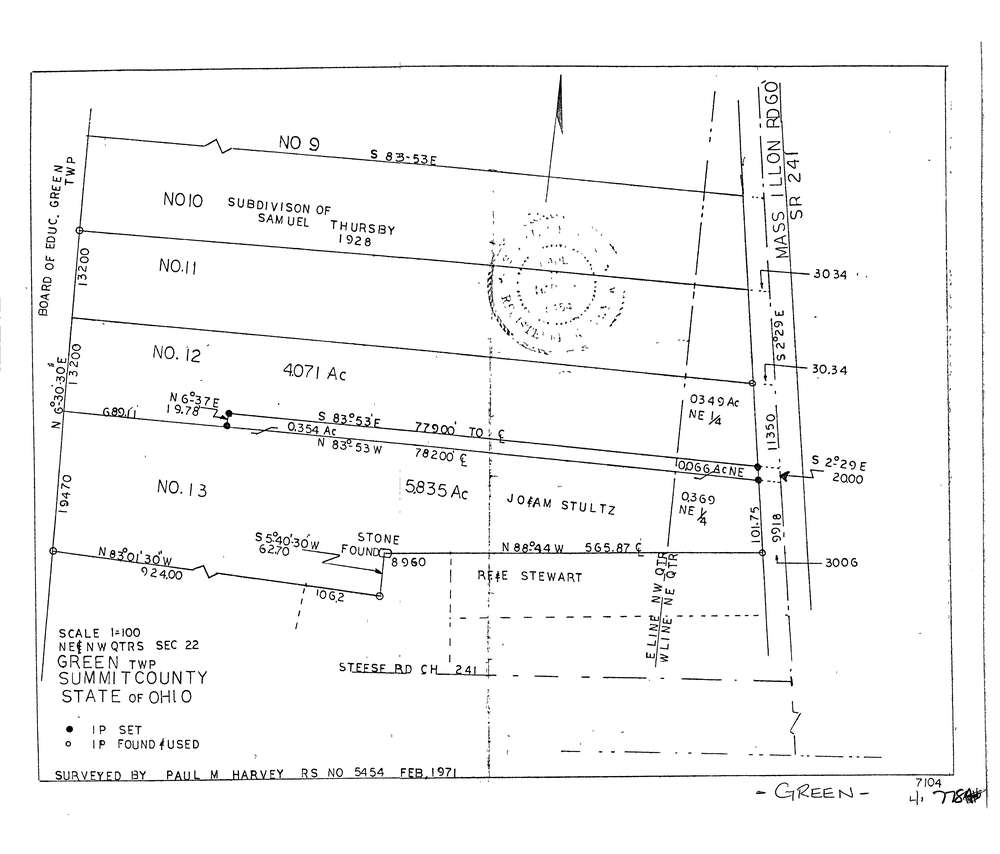
7784
Download lotsplits7784.tif
GIS Data
Latitude:
40.9495009999999
Longitude:
-81.466434
Identification
Survey identifier:
7784
Context
Original township:
Green
Community list:
Green
Surveyed on:
02/01/1971
Description
Owner:
Description:
Primary road:
Massillon Rd
Secondary road:
Near intersection:
Steese Rd
Acreage:
10.69
Survey Locators
Tract list:
Lot list:
Section list:
22
Quarter:
Surveyor
Surveyor number:
5454
Surveyor name:
Harvey Paul M.
Company:
Document Data
Scan File Name:
lotsplits7784.tif
Scan Pages:
1
Drawer location: