Toggle navigation
Survey Documents
Advanced Search
Supporting Data
Companies
Surveyors
Communities
Original Townships
APIs
Survey Documents API
Tutorial
About
Contact
Search
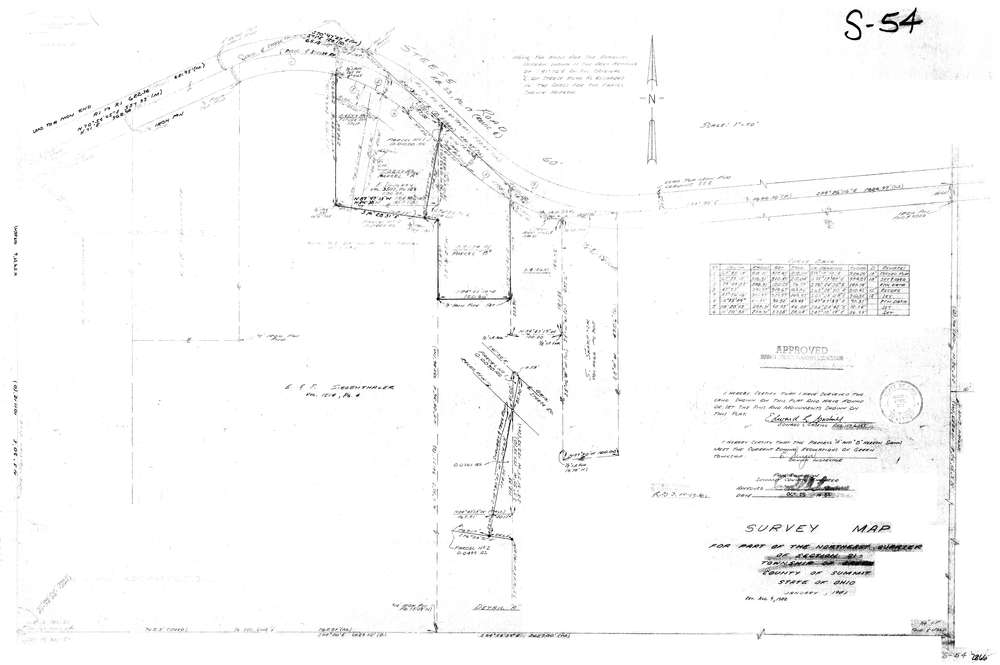
7866
Download lotsplits7866.tif
GIS Data
Latitude:
40.9474506999998
Longitude:
-81.4821653
Identification
Survey identifier:
7866
Context
Original township:
Green
Community list:
Green
Surveyed on:
09/09/1982
Description
Owner:
Description:
Primary road:
Steese Rd
Secondary road:
Near intersection:
Slaughter
Acreage:
2.7638
Survey Locators
Tract list:
Lot list:
Section list:
21
Quarter:
NE
Surveyor
Surveyor number:
6349
Surveyor name:
Gaskill, Edward L.
Company:
Gaskill & Associates, Inc.
Document Data
Scan File Name:
lotsplits7866.tif
Scan Pages:
1
Drawer location: