Toggle navigation
Survey Documents
Advanced Search
Supporting Data
Companies
Surveyors
Communities
Original Townships
APIs
Survey Documents API
Tutorial
About
Contact
Search
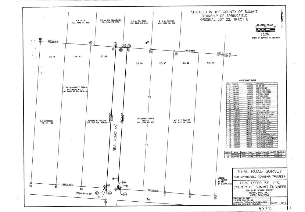
9572
Download lotsplits9572.tif
GIS Data
Latitude:
41.0348719999999
Longitude:
-81.407146
Identification
Survey identifier:
9572
Context
Original township:
Springfield
Community list:
Springfield
Surveyed on:
05/06/1997
Description
Owner:
Description:
Primary road:
Neal Rd
Secondary road:
Brunk Rd
Near intersection:
Acreage:
Survey Locators
Tract list:
8
Lot list:
22
Section list:
Quarter:
Surveyor
Surveyor number:
7414
Surveyor name:
Esser, Eugene P.
Company:
Document Data
Scan File Name:
lotsplits9572.tif
Scan Pages:
1
Drawer location: