Toggle navigation
Survey Documents
Advanced Search
Supporting Data
Companies
Surveyors
Communities
Original Townships
APIs
Survey Documents API
Tutorial
About
Contact
Search
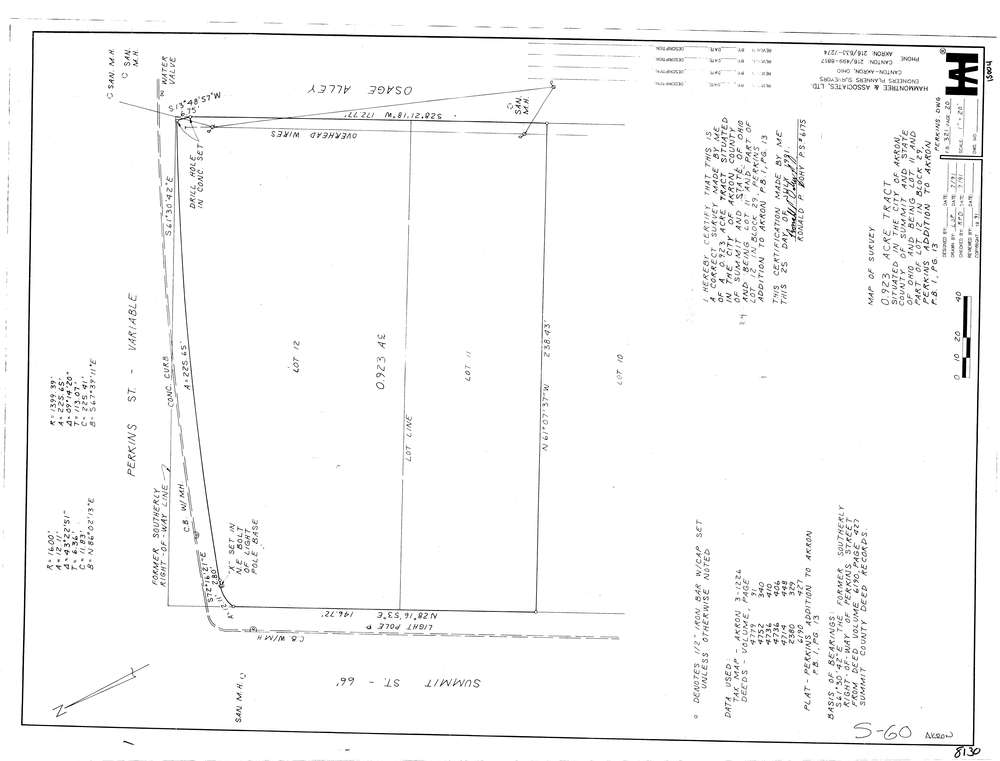
8130
Download lotsplits8130.tif
GIS Data
Latitude:
41.0862209999999
Longitude:
-81.511924
Identification
Survey identifier:
8130
Context
Original township:
Akron
Community list:
Akron
Surveyed on:
07/01/1991
Description
Owner:
Description:
Primary road:
Perkins St
Secondary road:
Osage Alley
Near intersection:
Summit St
Acreage:
0.923
Survey Locators
Tract list:
Lot list:
Section list:
Quarter:
Surveyor
Surveyor number:
6175
Surveyor name:
Dohy, Ronald P.
Company:
Hammontree & Associates
Document Data
Scan File Name:
lotsplits8130.tif
Scan Pages:
1
Drawer location: