Toggle navigation
Survey Documents
Advanced Search
Supporting Data
Companies
Surveyors
Communities
Original Townships
APIs
Survey Documents API
Tutorial
About
Contact
Search
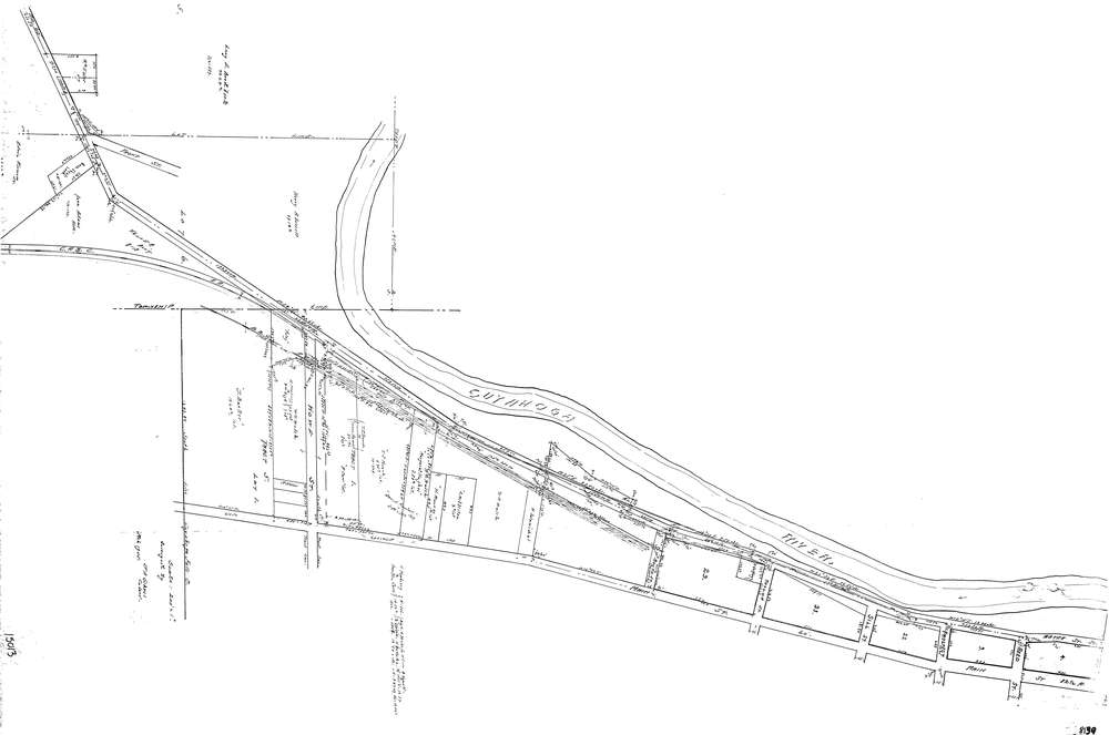
8139
Download lotsplits8139.tif
GIS Data
Latitude:
41.1221679999999
Longitude:
-81.485467
Identification
Survey identifier:
8139
Context
Original township:
Tallmadge
Community list:
Cuyahoga Falls
Surveyed on:
03/01/1905
Description
Owner:
Description:
Primary road:
Main St
Secondary road:
Howe St
Near intersection:
Acreage:
Survey Locators
Tract list:
1
Lot list:
Section list:
Quarter:
Surveyor
Surveyor number:
COSE26
Surveyor name:
Gehres, Joseph A.
Company:
Document Data
Scan File Name:
lotsplits8139.tif
Scan Pages:
1
Drawer location: