Toggle navigation
Survey Documents
Advanced Search
Supporting Data
Companies
Surveyors
Communities
Original Townships
APIs
Survey Documents API
Tutorial
About
Contact
Search
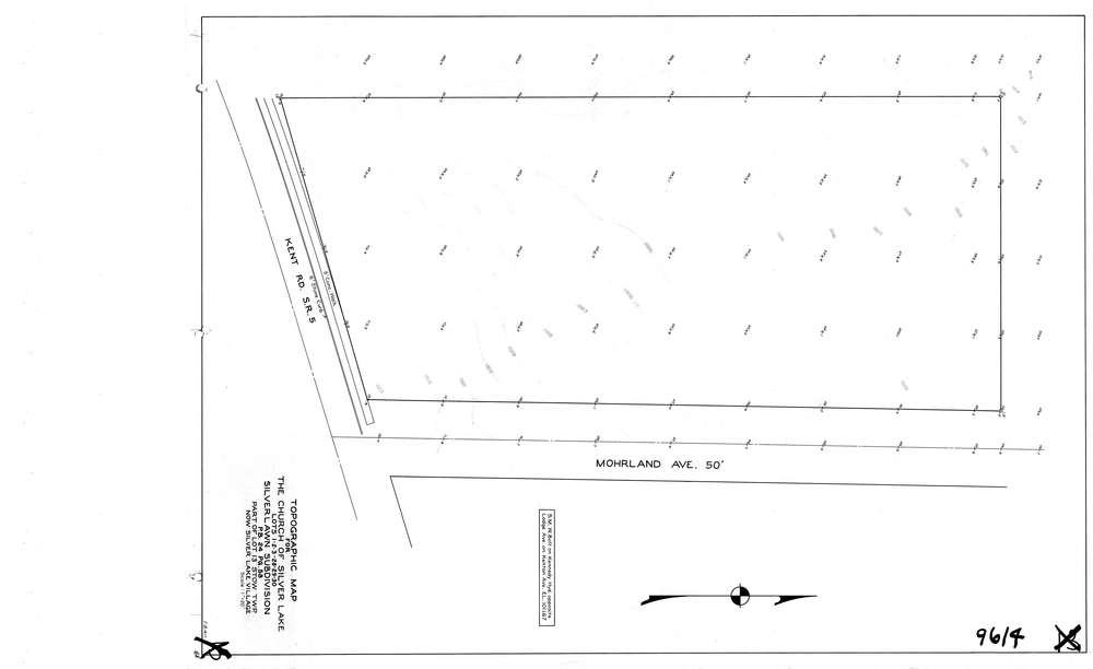
9614
Download lotsplits9614.tif
GIS Data
Latitude:
41.1510879999999
Longitude:
-81.463832
Identification
Survey identifier:
9614
Context
Original township:
Stow
Community list:
Stow
Surveyed on:
02/14/1949
Description
Owner:
The Church of Silver Lake
Description:
Silverlawn Sub. Lots 1, 2, 3, 28, 29, 30
Primary road:
Mohrland Ave (North Park)
Secondary road:
Kent Rd
Near intersection:
Acreage:
Survey Locators
Tract list:
Lot list:
13
Section list:
Quarter:
Surveyor
Surveyor number:
Surveyor name:
Company:
County Of Summit Engineer
Document Data
Scan File Name:
lotsplits9614.tif
Scan Pages:
1
Drawer location: