Toggle navigation
Survey Documents
Advanced Search
Supporting Data
Companies
Surveyors
Communities
Original Townships
APIs
Survey Documents API
Tutorial
About
Contact
Search
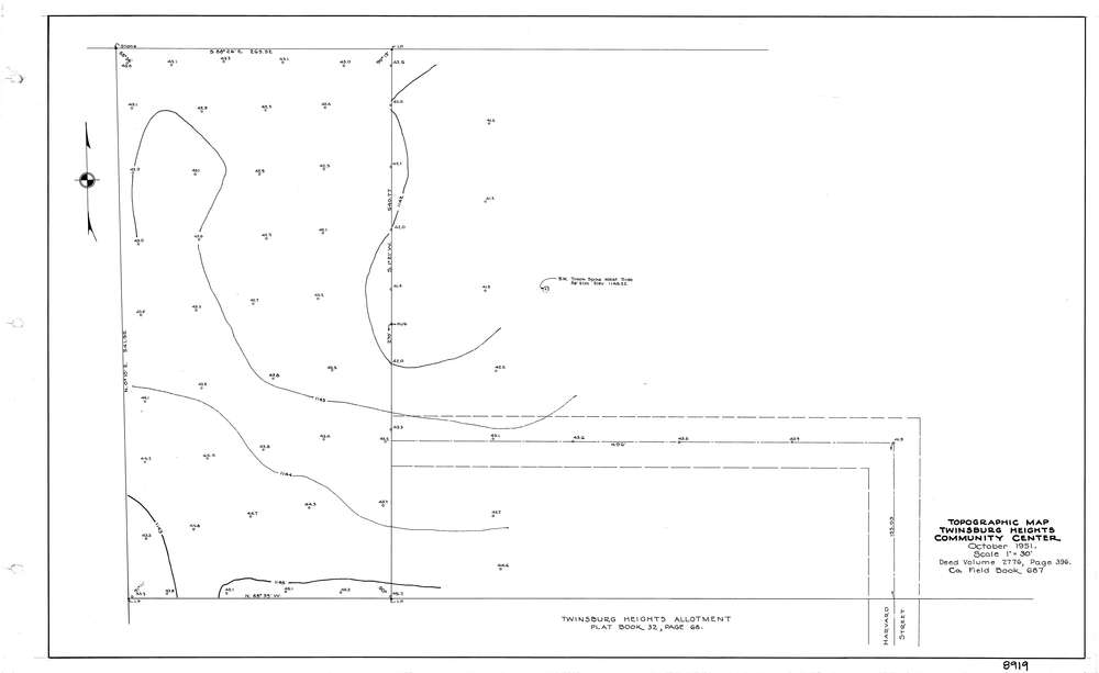
8919
Download lotsplits8919.tif
GIS Data
Latitude:
41.3086959999999
Longitude:
-81.463199
Identification
Survey identifier:
8919
Context
Original township:
Twinsburg
Community list:
Twinsburg
Surveyed on:
10/31/1951
Description
Owner:
Description:
Topo Of Twinsburg Heights Community Center
Primary road:
Harvard St
Secondary road:
Near intersection:
Acreage:
Survey Locators
Tract list:
Lot list:
Section list:
Quarter:
Surveyor
Surveyor number:
Surveyor name:
Company:
County Of Summit Engineers
Document Data
Scan File Name:
lotsplits8919.tif
Scan Pages:
1
Drawer location: