Toggle navigation
Survey Documents
Advanced Search
Supporting Data
Companies
Surveyors
Communities
Original Townships
APIs
Survey Documents API
Tutorial
About
Contact
Search
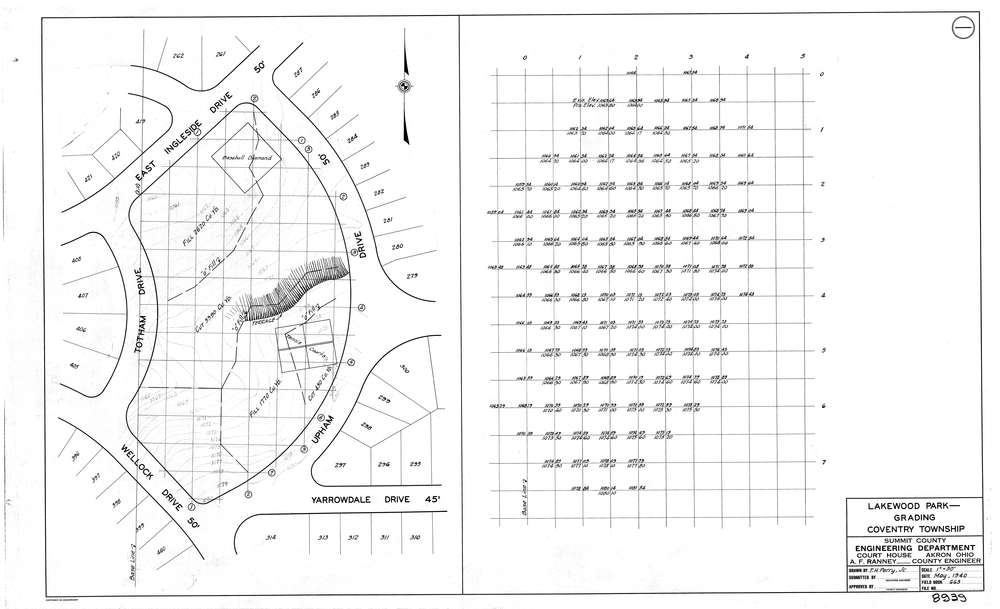
8939
Download lotsplits8939.tif
GIS Data
Latitude:
41.0060718999999
Longitude:
-81.5210974
Identification
Survey identifier:
8939
Context
Original township:
Coventry
Community list:
Coventry
Surveyed on:
Description
Owner:
Description:
Lakewood Park Grading Plan
Primary road:
Wellock Dr
Secondary road:
Near intersection:
Totham Dr
Acreage:
Survey Locators
Tract list:
Lot list:
Section list:
Quarter:
Surveyor
Surveyor number:
COSE15
Surveyor name:
Ranney, A.F.
Company:
County Of Summit Engineers
Document Data
Scan File Name:
lotsplits8939.tif
Scan Pages:
1
Drawer location: