Toggle navigation
Survey Documents
Advanced Search
Supporting Data
Companies
Surveyors
Communities
Original Townships
APIs
Survey Documents API
Tutorial
About
Contact
Search
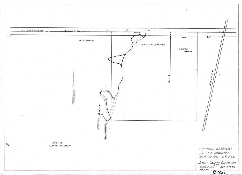
8951
Download lotsplits8951.tif
GIS Data
Latitude:
40.9643898999999
Longitude:
-81.4301422
Identification
Survey identifier:
8951
Context
Original township:
Green
Community list:
Green
Surveyed on:
Description
Owner:
Description:
Channel Easement
Primary road:
Raber Rd
Secondary road:
Near intersection:
Acreage:
Survey Locators
Tract list:
Lot list:
Section list:
13
Quarter:
Surveyor
Surveyor number:
Surveyor name:
Company:
County Of Summit Engineers
Document Data
Scan File Name:
lotsplits8951.tif
Scan Pages:
1
Drawer location: