Toggle navigation
Survey Documents
Advanced Search
Supporting Data
Companies
Surveyors
Communities
Original Townships
APIs
Survey Documents API
Tutorial
About
Contact
Search
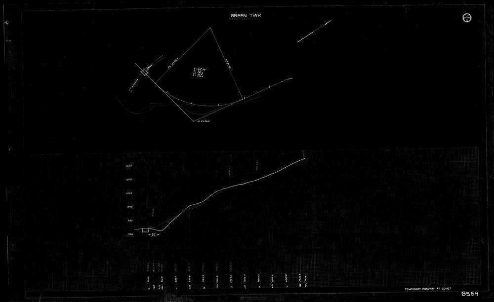
8954 2 pages scanned, please download to view all scans
Download lotsplits8954.tif
GIS Data
Latitude:
40.9232249999999
Longitude:
-81.526151
Identification
Survey identifier:
8954
Context
Original township:
Green
Community list:
Green
Surveyed on:
Description
Owner:
Description:
Temporary Roadway
Primary road:
Comet Rd
Secondary road:
Near intersection:
Stoner Rd
Acreage:
Survey Locators
Tract list:
Lot list:
Section list:
Quarter:
Surveyor
Surveyor number:
Surveyor name:
Company:
County Of Summit Engineers
Document Data
Scan File Name:
lotsplits8954.tif
Scan Pages:
2
Drawer location: