Toggle navigation
Survey Documents
Advanced Search
Supporting Data
Companies
Surveyors
Communities
Original Townships
APIs
Survey Documents API
Tutorial
About
Contact
Search
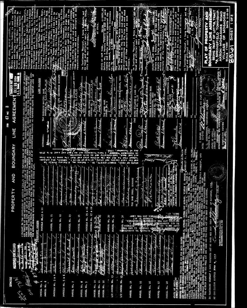
8961 2 pages scanned, please download to view all scans
Download lotsplits8961.tif
GIS Data
Latitude:
41.0516859999999
Longitude:
-81.410408
Identification
Survey identifier:
8961
Context
Original township:
Springfield
Community list:
Springfield
Surveyed on:
11/10/1955
Description
Owner:
Description:
Boundary Line Agreement Plat
Primary road:
Akron Mogadore Rd
Secondary road:
Near intersection:
Marion Ave
Acreage:
Survey Locators
Tract list:
8
Lot list:
18
Section list:
Quarter:
Surveyor
Surveyor number:
2547
Surveyor name:
Scharenberg, L.L.
Company:
Document Data
Scan File Name:
lotsplits8961.tif
Scan Pages:
2
Drawer location: