Toggle navigation
Survey Documents
Advanced Search
Supporting Data
Companies
Surveyors
Communities
Original Townships
APIs
Survey Documents API
Tutorial
About
Contact
Search
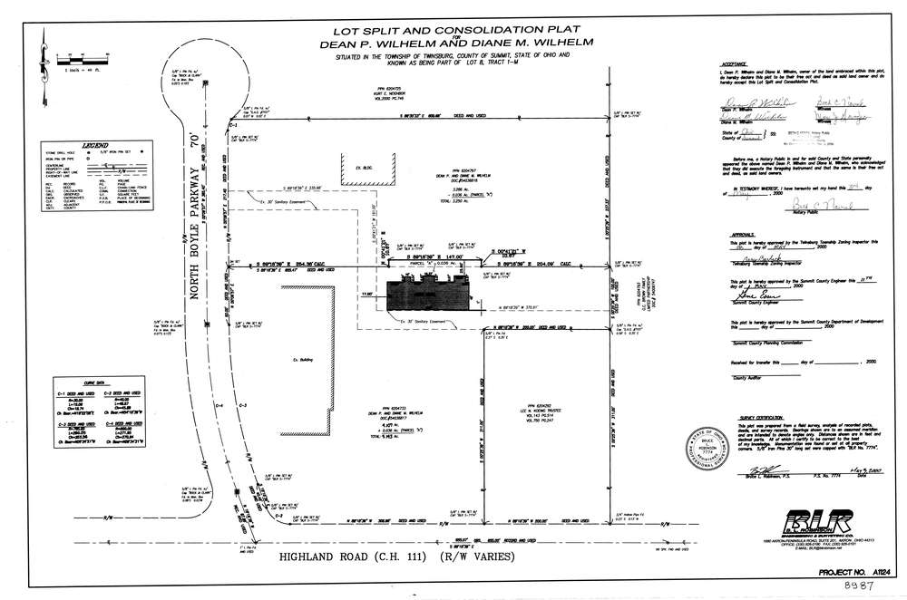
8987
Download lotsplits8987.tif
GIS Data
Latitude:
41.2987418999999
Longitude:
-81.4605499
Identification
Survey identifier:
8987
Context
Original township:
Twinsburg
Community list:
Twinsburg
Surveyed on:
05/03/2000
Description
Owner:
Wilhelm
Description:
Primary road:
North Boyle Parkway
Secondary road:
Near intersection:
Highland Rd
Acreage:
7.393
Survey Locators
Tract list:
1-M
Lot list:
8
Section list:
Quarter:
Surveyor
Surveyor number:
7774
Surveyor name:
Robinson, Bruce L.
Company:
Document Data
Scan File Name:
lotsplits8987.tif
Scan Pages:
1
Drawer location: