Toggle navigation
Survey Documents
Advanced Search
Supporting Data
Companies
Surveyors
Communities
Original Townships
APIs
Survey Documents API
Tutorial
About
Contact
Search
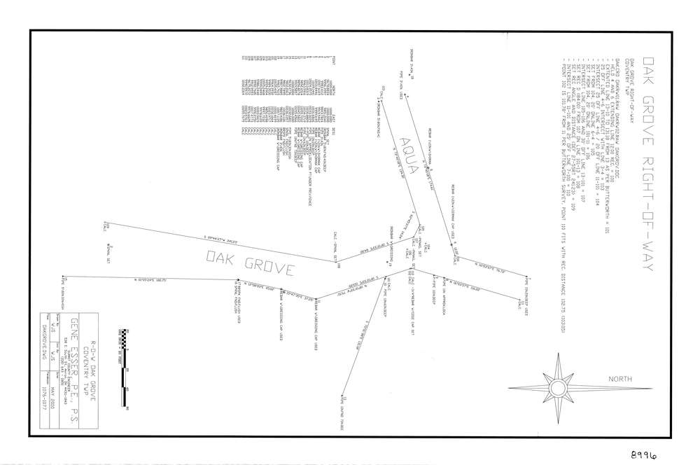
8996
Download lotsplits8996.tif
GIS Data
Latitude:
40.9968469999999
Longitude:
-81.5312957
Identification
Survey identifier:
8996
Context
Original township:
Coventry
Community list:
Coventry
Surveyed on:
05/01/2000
Description
Owner:
Description:
Establish Row
Primary road:
Oak Grove
Secondary road:
Near intersection:
Aqua Blvd
Acreage:
Survey Locators
Tract list:
13
Lot list:
Section list:
Quarter:
Surveyor
Surveyor number:
7414
Surveyor name:
Esser, Eugene P.
Company:
County Of Summit Engineers
Document Data
Scan File Name:
lotsplits8996.tif
Scan Pages:
1
Drawer location: