Toggle navigation
Survey Documents
Advanced Search
Supporting Data
Companies
Surveyors
Communities
Original Townships
APIs
Survey Documents API
Tutorial
About
Contact
Search
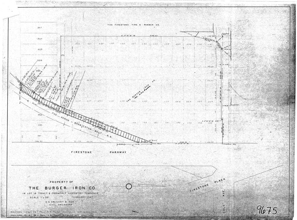
9675
Download lotsplits9675.tif
GIS Data
Latitude:
41.0499789999999
Longitude:
-81.529648
Identification
Survey identifier:
9675
Context
Original township:
Community list:
Coventry
Surveyed on:
11/20/1975
Description
Owner:
The Burger Iron Co
Description:
Primary road:
Firestone Parkway
Secondary road:
Near intersection:
Cole Ave
Acreage:
Survey Locators
Tract list:
9
Lot list:
19
Section list:
Quarter:
Surveyor
Surveyor number:
Surveyor name:
Company:
S.G. Swigart & Son
Document Data
Scan File Name:
lotsplits9675.tif
Scan Pages:
1
Drawer location: