Toggle navigation
Survey Documents
Advanced Search
Supporting Data
Companies
Surveyors
Communities
Original Townships
APIs
Survey Documents API
Tutorial
About
Contact
Search
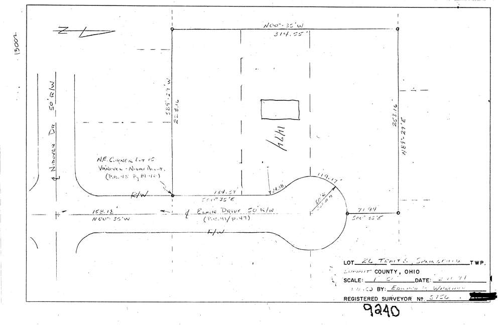
9240
Download lotsplits9240.tif
GIS Data
Latitude:
41.0111797999999
Longitude:
-81.4070249
Identification
Survey identifier:
9240
Context
Original township:
Springfield
Community list:
Springfield
Surveyed on:
02/11/1971
Description
Owner:
Description:
Primary road:
Blair Dr
Secondary road:
Near intersection:
Nidover Dr
Acreage:
Survey Locators
Tract list:
8
Lot list:
26
Section list:
Quarter:
Surveyor
Surveyor number:
5756
Surveyor name:
Wanchick, Edward P.
Company:
Document Data
Scan File Name:
lotsplits9240.tif
Scan Pages:
1
Drawer location: