Toggle navigation
Survey Documents
Advanced Search
Supporting Data
Companies
Surveyors
Communities
Original Townships
APIs
Survey Documents API
Tutorial
About
Contact
Search
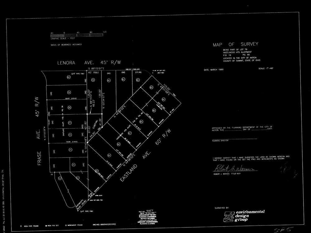
9801
Download ak_s_85.tif
GIS Data
Latitude:
41.0825859999998
Longitude:
-81.471047
Identification
Survey identifier:
9801
Context
Original township:
Portage
Community list:
Akron
Surveyed on:
03/01/1989
Description
Owner:
Hazelwood Heights Allotment
Description:
aks85 fiscal office survey
Primary road:
Lenora Ave
Secondary road:
Eastland Ave
Near intersection:
Frase Ave
Acreage:
Survey Locators
Tract list:
Lot list:
79
Section list:
Quarter:
Surveyor
Surveyor number:
6931
Surveyor name:
Warner, Robert J.
Company:
Environmental Design Group
Document Data
Scan File Name:
ak_s_85.tif
Scan Pages:
1
Drawer location:
231