Toggle navigation
Survey Documents
Advanced Search
Supporting Data
Companies
Surveyors
Communities
Original Townships
APIs
Survey Documents API
Tutorial
About
Contact
Search
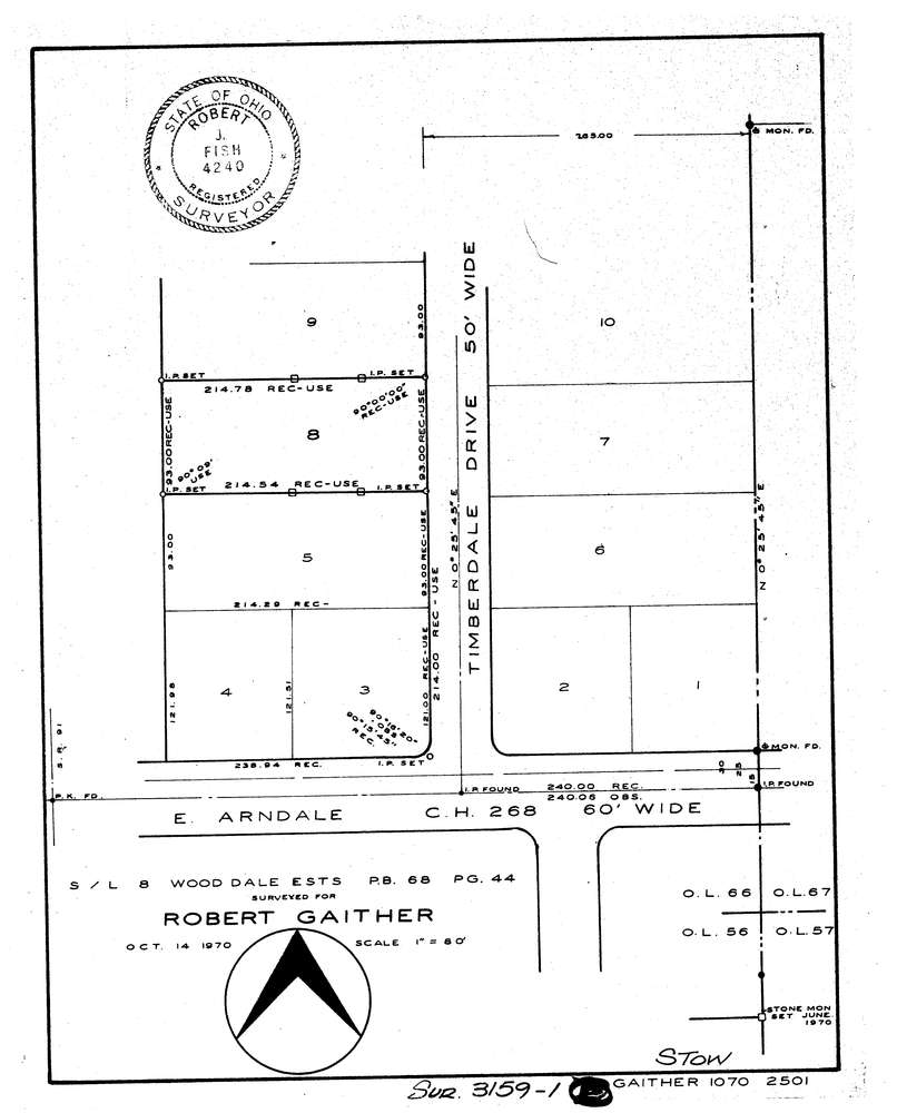
3159-1
Download lotsplits3159_1.tif
GIS Data
Latitude:
41.1832969999999
Longitude:
-81.432263
Identification
Survey identifier:
3159-1
Context
Original township:
Stow
Community list:
Stow
Surveyed on:
10/14/1970
Description
Owner:
Gaither
Description:
Sublot 8 Wood Dale Estates
Primary road:
Timberdale Dr
Secondary road:
Near intersection:
East Arndale Dr
Acreage:
Survey Locators
Tract list:
Lot list:
Section list:
Quarter:
Surveyor
Surveyor number:
4240
Surveyor name:
Fish, Robert J.
Company:
Document Data
Scan File Name:
lotsplits3159_1.tif
Scan Pages:
1
Drawer location: