Toggle navigation
Survey Documents
Advanced Search
Supporting Data
Companies
Surveyors
Communities
Original Townships
APIs
Survey Documents API
Tutorial
About
Contact
Search
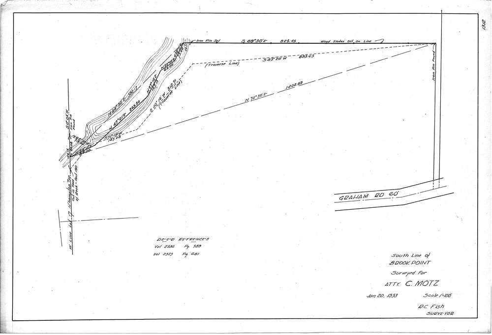
F1312
Download f1312.tif
GIS Data
Latitude:
41.1532769999999
Longitude:
-81.508062
Identification
Survey identifier:
F1312
Context
Original township:
Northampton
Community list:
Surveyed on:
01/20/1953
Description
Owner:
Motz
Description:
South line of Brook Point
Primary road:
Graham Road
Secondary road:
Near intersection:
Acreage:
Survey Locators
Tract list:
Lot list:
17
Section list:
Quarter:
Surveyor
Surveyor number:
Surveyor name:
Company:
Document Data
Scan File Name:
f1312.tif
Scan Pages:
1
Drawer location:
252-255