Toggle navigation
Survey Documents
Advanced Search
Supporting Data
Companies
Surveyors
Communities
Original Townships
APIs
Survey Documents API
Tutorial
About
Contact
Search
F2366
Download f2366_0001.tif
GIS Data
Latitude:
40.9167559999998
Longitude:
-81.44208
Identification
Survey identifier:
F2366
Context
Original township:
Green
Community list:
Surveyed on:
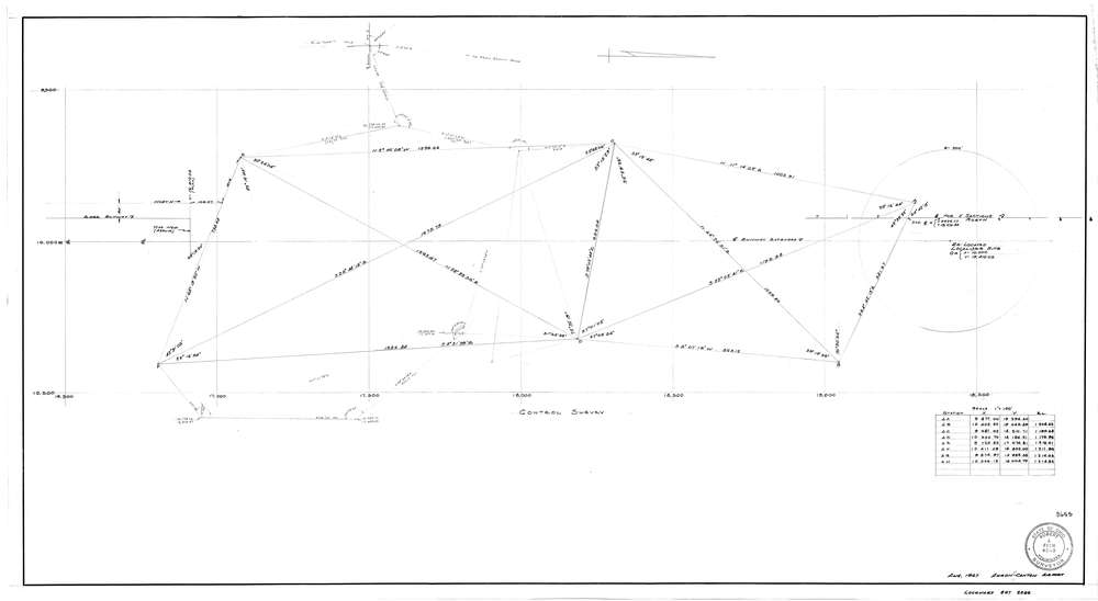
08/01/1967
Description
Owner:
Description:
Akron-Canton Airport
Primary road:
Secondary road:
Near intersection:
Acreage:
Survey Locators
Tract list:
Lot list:
Section list:
Quarter:
Surveyor
Surveyor number:
Surveyor name:
Company:
Document Data
Scan File Name:
f2366_0001.tif
Scan Pages:
1
Drawer location:
252-255