Toggle navigation
Survey Documents
Advanced Search
Supporting Data
Companies
Surveyors
Communities
Original Townships
APIs
Survey Documents API
Tutorial
About
Contact
Search
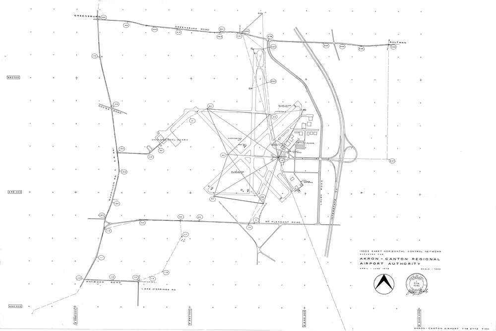
F2772 2 pages scanned, please download to view all scans
Download image.tif
GIS Data
Latitude:
40.9157179999998
Longitude:
-81.440706
Identification
Survey identifier:
F2772
Context
Original township:
Green
Community list:
Surveyed on:
04/01/1978
Description
Owner:
Akron-Canton Regional Airport Authority
Description:
Horizontal Control Survey
Primary road:
Lauby Rd
Secondary road:
Greensburg Rd
Near intersection:
Mt. Pleasant Rd
Acreage:
Survey Locators
Tract list:
Lot list:
Section list:
Quarter:
Surveyor
Surveyor number:
Surveyor name:
Company:
Document Data
Scan File Name:
image.tif
Scan Pages:
2
Drawer location:
252-255