Toggle navigation
Survey Documents
Advanced Search
Supporting Data
Companies
Surveyors
Communities
Original Townships
APIs
Survey Documents API
Tutorial
About
Contact
Search
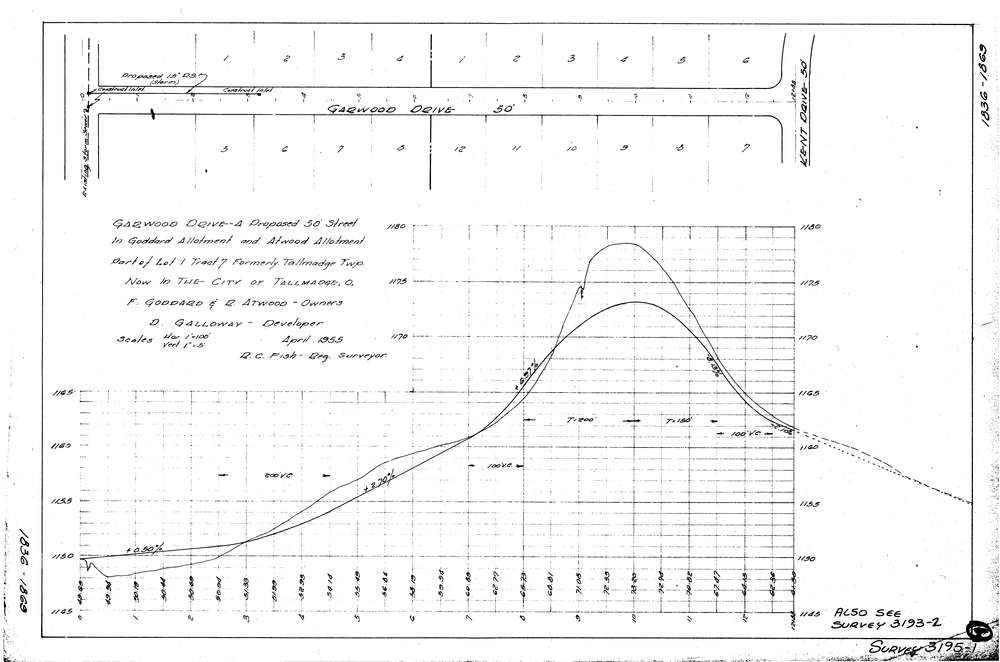
3195-1
Download lotsplits3195_1.tif
GIS Data
Latitude:
41.1105289999998
Longitude:
-81.438217
Identification
Survey identifier:
3195-1
Context
Original township:
Tallmadge
Community list:
Tallmadge
Surveyed on:
04/01/1955
Description
Owner:
Description:
Proposed Rd
Primary road:
Garwood Dr
Secondary road:
Near intersection:
Kent Dr
Acreage:
Survey Locators
Tract list:
Lot list:
Section list:
Quarter:
Surveyor
Surveyor number:
3874
Surveyor name:
Fish, R.C.
Company:
Document Data
Scan File Name:
lotsplits3195_1.tif
Scan Pages:
1
Drawer location: